Date: Saturday, July 2, 2016
Time: 9:00a start
Start Location: Mt Hood – Surveyor’s Ridge/Dog River’s Southern Trailhead.
Distance: 45 miles
Elevation gain/loss: 7,000′
Starting/Min/Max Elevation: 4266’/2754’/6036′
Max Riders: 75
Cost: FREE, but recommended donation to 44trails.
2016 Results
6/30/2016 – Rider Information Packet
MHEC Course Teaser on Youtube
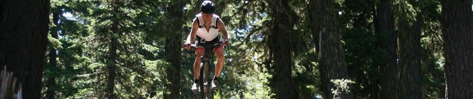
Overview: Our Mt Hood Endurance Classic will be on Saturday, July 2, 2016. The route is 45 miles and includes some of the best trails on the east side of Mt. Hood – 15 mile creek, 8 mile creek, 5 mile butte, Knebal Springs, the new Super Connector.
Recommended Donation: We are suggesting that riders make a small donation to the groups that maintain the trails that we ride. For the 2016 MHEC, we’re suggesting that riders make a $20-40 donation to the 44 Trails Association . 44Trails is actively involved in the planning, building, maintenance and stewardship of the trails accessible from the FS44 – basically EVERY trail we ride in the MHEC.
Routes: The route starts at the Dog River/Surveyor’s Ridge trailhead and starts with a 4.5 mile gravel road climb up National Forest Road 4410 to High Prairie, then trail 450 to Eightmile meadow before heading to the challenging Fifteenmile Creek trail – going clockwise on the loop this year (we did ccw last year). They then come back down the fantastic, flowy Eightmile Creek trail – all the way to Eightmile Crossing CG before climbing up to Fivemile butte and joining in to Knebal Springs trail going past Knebal Springs CG to the new Superconnector trail. At the top of Surveyor’s Ridge, the route heads back to the finish.
Map: Ride With GPS links: Short course. You can view elevation profile, switch between different map views, and export a GPX file from here.
 |
Cue Sheet: coming soon
Water on the Course: There are various places on the course where you can get water from streams. You should carry some form of water purification or filtration if you’re doing the long course.
Directions to the Start: From Hood River, head 31 miles south on Hwy 35 to forest road 44 on the left. Take 44 up 3.5 miles to the Surveyor’s Ridge/Dog River trailhead on the left. More parking – continue on 44 another 200 feet past the Surveyor’s trailhead to forest road 4410 on the right. This is the start of the course. Park on any pull-out on 4410.
Camping: There are numerous campgrounds in the area – Routson, Sherwood, and Nottinham on Hwy 35. Eightmile crossing CG and Fifteenmile CG, and Knebal Springs CG are all on the course.
